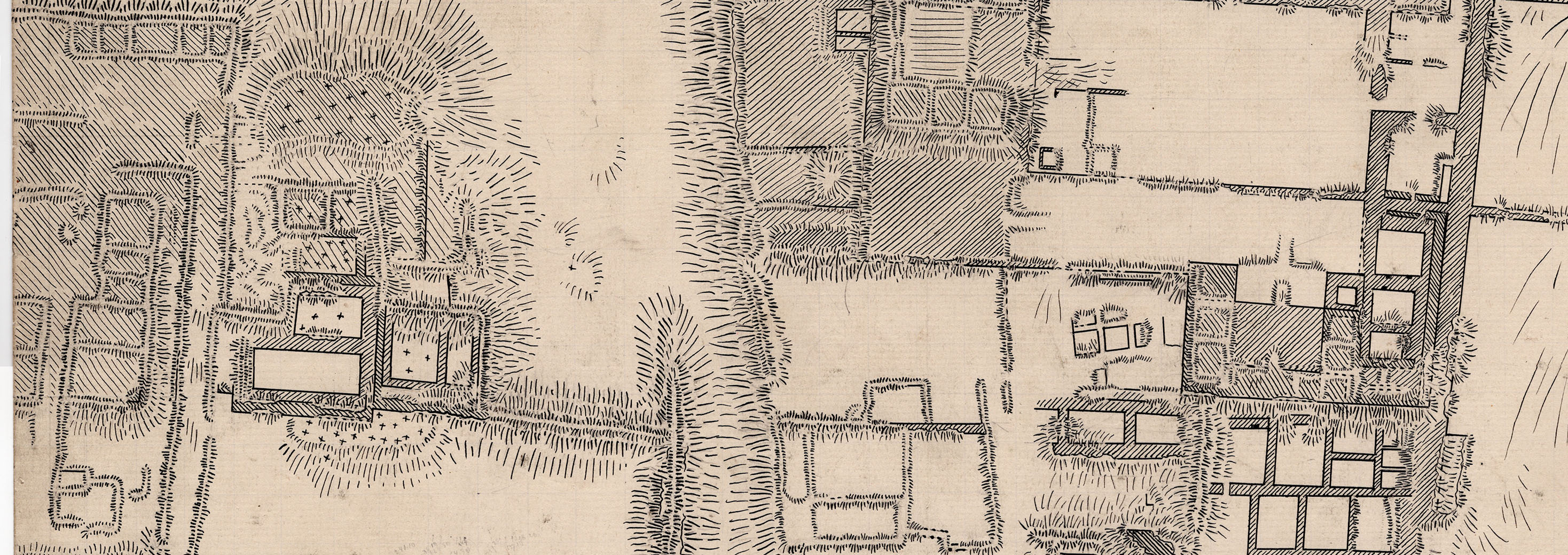
The original of Max Uhle´s map of Pachacamac in Quito
https://doi.org/10.34780/joga.v2020i0.1010
Resumen
The map of Pachacamac made by the German archaeologist Max Uhle (1856–1944) while digging at the site in 1896 is an outstanding work of surveying. It was ncluded in the monographic report on Pachacamac published in 1903 which formed the basis of Uhle´s reputation as one of the leading archaeologists of his time working in the Andean area.The original plan was considered lost and was only recently discovered by chance in the estate of the Ecuadorian scientist and politician Jacinto Jijón y Caamaño (1890–1950). This article briefly describes the 25 large-format sheets that make up the original plan. Its main purpose, however, is to pursue the question of why this plan is now part of Jijón y Caamaño's estate. A plethora of information on this topic came from the correspondence between the two researchers, which is preserved in their respective estates.
Palabras clave:
Peru, Pachacamac, Max Uhle, Jacinto Jijón y Caamaño


