Remote Sensing of Large-Scale Areas at the Urban Sites of the Mongolian Orkhon Valley Using Low-Cost Drones. Preliminary Results and Some Thoughts on the Urban Layout of the Uyghur Capital Qara Balǧasun
https://doi.org/10.34780/joga.v2020i0.1012
Resumen
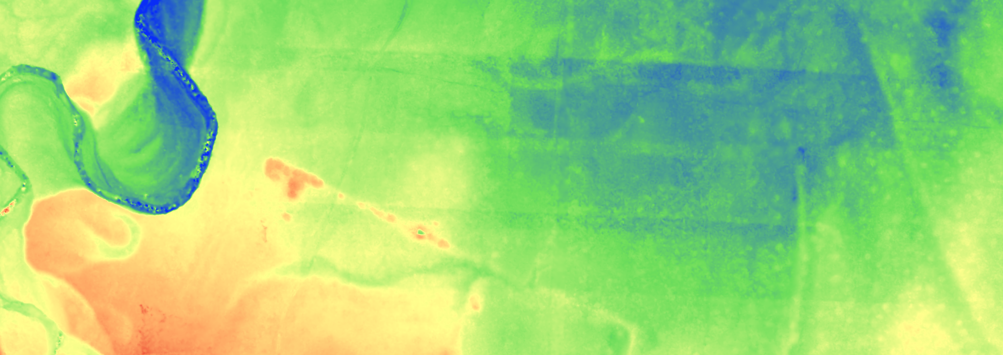
In 2018 the Mongolian-German Orchon-Expedition (Mongolian Academy of Sciences, National University of Mongolia, German Archaeological Institute) together with Archaeocopter (Hochschule für Technik und Wirtschaft Dresden, Freie Universität Berlin) conducted large-scale surveys at the sites of the Uyghur capital Qara Balǧasun and the ancient Mongol capital of Qara Qorum. Especially the enormous size of the site of Qara Balǧasun poses a challenge for archaeological research. The unbuilt and sparsely vegetated Mongolian steppe provides ideal preconditions for image-based remote sensing methods. With off-the-shelf, relatively low-cost UAVs (Unmanned Aerial Vehicles) both sites have been surveyed with thousands of overlapping aerial images. Otho-images and digital elevation models have been generated by photogrammetric methods. The results enable the distinguishing of even faintest remains of ancient constructions. For the first time a complete map of the remains of Qara Balǧasun has been achieved. This map delivers new insights concerning the Uyghur city. The area occupied by the city amounts to 44 km². Furthermore the new map allows a better understanding of the principles of spatial order on which the city is based. While former theories assumed Iranian-Sogdian or Chinese models of city planning, it seems now, that the layout of Qara Balǧasun follows more native nomadic principles. The city is the encampment of a nomad ruler made permanent by the erection of buildings and thus an instance of a genuine steppe-nomadic kind of urbanity.
Palabras clave:
Remote Sensing, Large-scale documentation, low-cost drones, UAV, Photogrammetry, Mongolia, Qara Balǧasun, Qara Qorum, Steppe empires, Steppe urbanism


